PICTURE THE JOURNEY
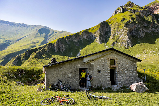


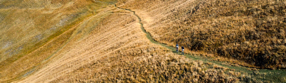
The trail
Known as Umbria’s ‘green heart’ La Valnerina, which is home to the Monti Sibillini National Park, is undoubtedly one of the most beautiful and unique areas in Italy.
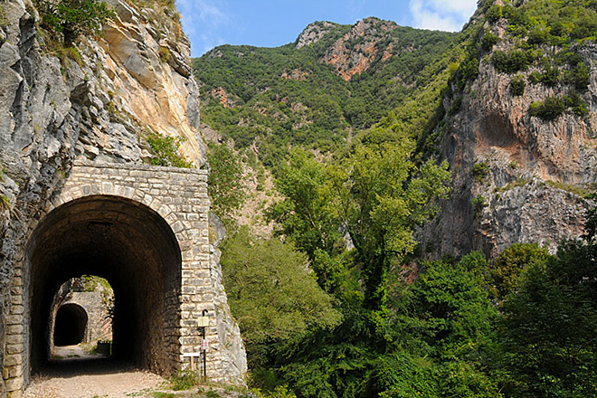
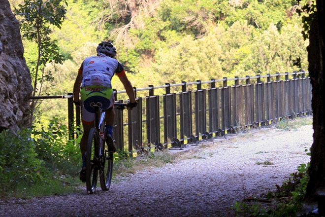
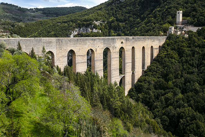
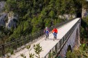
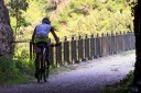
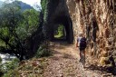
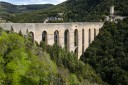
On your visit, first you will bike across the Spoleto-Norcia railway, a former mountain railway with 19 galleries and 24 bridges and viaducts. Disused since 1968, this historic railway, which flanks the River Nera, today serves as a 52km bike route set in natural and architectural beauty. Biking along the bridge over the Cortaccione Creek is definitely one of the highlights of this trail.
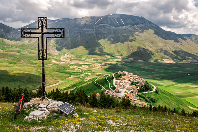
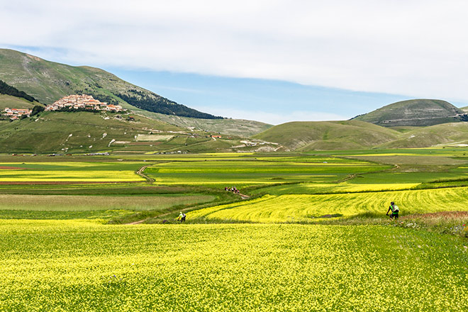
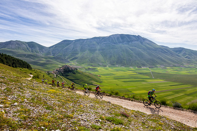
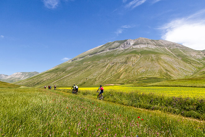
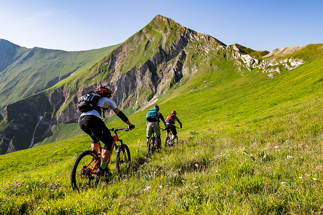
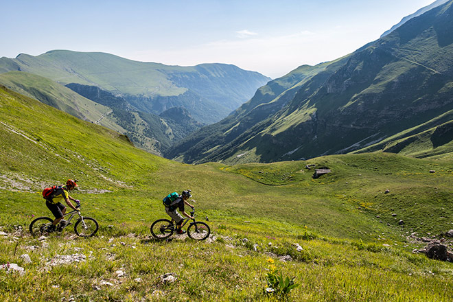
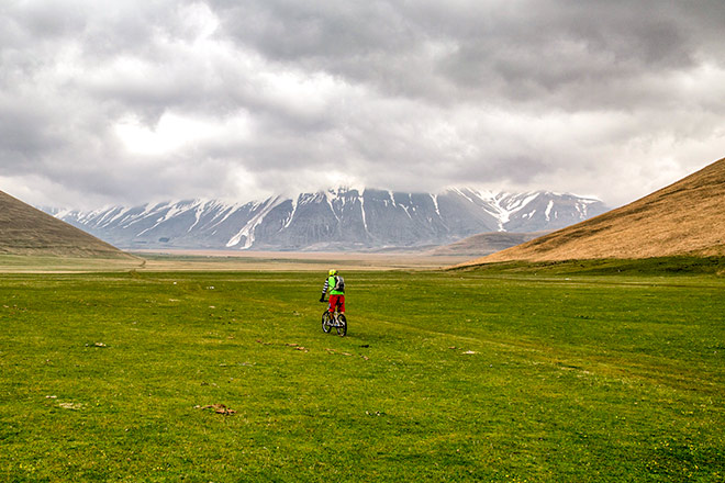
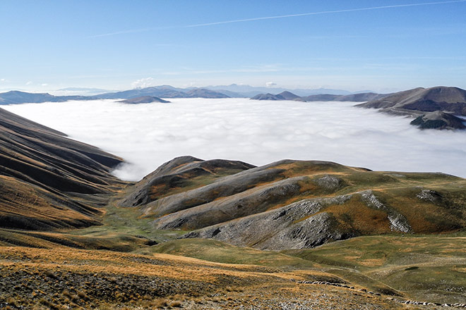
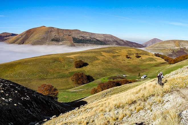
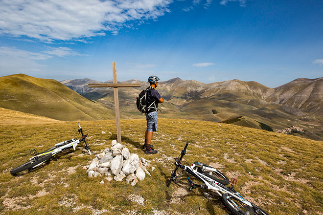
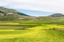
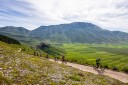
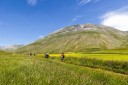
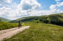
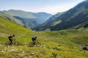
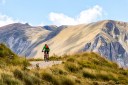
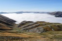
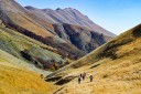
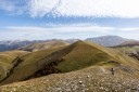
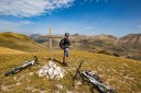
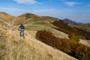
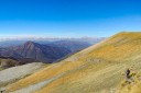
You will continue east of Norcia, entering the inaccessible, mountainous landscape of the Monti Sibillini National Park. This is one of Italy’s hidden treasures, and an outdoor sports paradise. Little known to foreign visitors, the Sibillini Mountains comprise soaring limestone mountains and one of the highest peaks on the Italian mainland – Mount Vettore at 2476 metres. The stark bareness of these mountains is striking. Wolves, chamois and brown bears all live here. You may even be lucky enough to see a rare golden eagle. But you will definitely see the impressive sights of the Piano Grande, a huge 16 square kilometre plain surrounded by the mountains. In spring, the high plains surrounding the medieval hill town of Castelluccio (Pian Grande, Pian Piccolo and Pantani di Accumoli), are a carpet of wild flowers. If there is a more beautiful example of flowers in bloom, we are yet to find it.
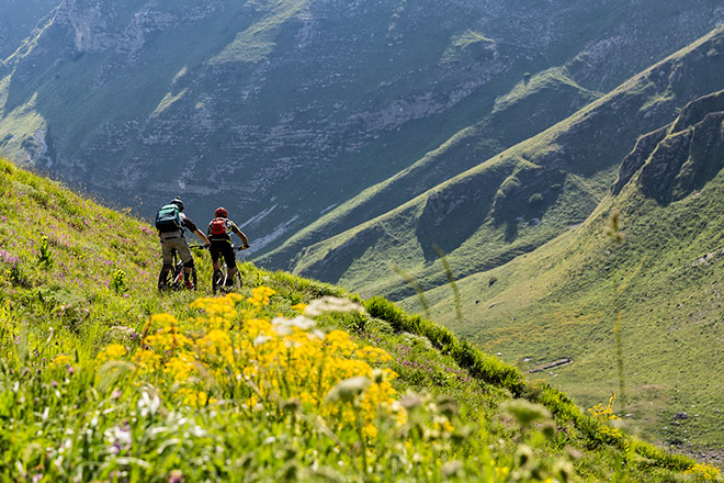
Riding surface
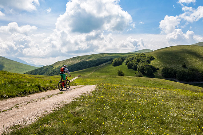
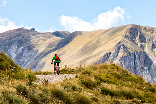
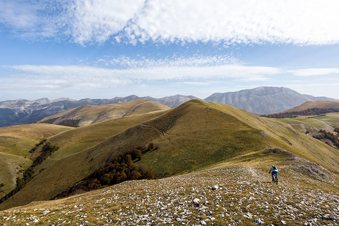
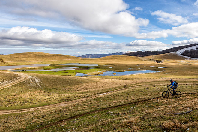
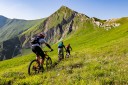
In this area, you’ll find great riding trails, made for mountainbiking. In fact, the old Spoleto-Norcia railway is purpose-built for bikers. At the Monti Sibillini National Park there are numerous marked bike paths to explore.Average mileage
The MTB stage to Norcia serves fast rolling trails, which means more than average distances: 80km but with only around 700 metres elevation gain. Those who prefer extra miles can climb to Spoleto via the Martano Mountains, which provides a total run of more than 100km and about 1350 metres elevation gain. If you’re looking for the ultimate physical challenge, you can add the Anello di Monte Coscerno to our standard 80km itinerary, which provides a total run of around 120km and 2200m elevation gain. The second MTB stage, from Norcia to Lago Compotosto, is a maximum of 100km and about 2650 metres elevation. However, the final 45km is on scenic asphalt, and there are many shortcuts possible.